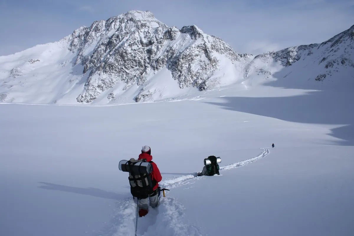
The car park at the trailhead can be deceptively calm. A light breeze rustles the grass, the clouds look harmless, and you start up in a T-shirt. Two hours later you are leaning into a gust that tries to take your rucksack off your shoulders, watching cloud swallow the ridge ahead. The mountain did not change its mind; you simply drove out of one weather zone and into another. Learning to read a forecast properly is the difference between a memorable day and a miserable, or genuinely dangerous, one.
Mountain weather is layered, and forecasts are usually written for the lowest, easiest layer. A valley forecast of 12°C and a gentle westerly breeze might translate to 4°C and a near-gale on a 1,000-metre summit. Add wind chill and it feels closer to freezing.
Rough rules help you translate between the two. Temperature typically falls about 1°C for every 150 metres of ascent, though this varies with the air mass and can be much more in a cold, unstable one. Wind speed increases with height and accelerates through cols, over ridges and along exposed shoulders. Rain, meanwhile, tends to fall harder on windward slopes as air is forced upwards, while the lee side can be noticeably drier.
So when you open a forecast, do not ask "what will the weather be like?" Ask "what will it be like at 900 metres, on the side I am walking, at the time I expect to be there?"
Wind is the mountain weather variable most worth your attention. It strips heat from your body, turns an easy path into hard work, and makes exposed ground genuinely hazardous. It also decides which routes are sensible.
Read wind in two parts: speed and direction.
As a general guide, sustained winds above roughly 40 mph make exposed ridges and summits unpleasant and, for many walkers, unwise. Above 60 mph, most people should not be on high, exposed ground at all. These are not hard limits—your experience, the terrain and the group matter—but they are useful prompts for a rethink.
Cloud does two things: it tells you how high you can see, and it warns you what is coming.
Look for the forecast cloud base as a height, not a mood. A base of 1,200 metres means summits may be clear. A base of 300 metres means navigation becomes the main event and your route needs to suit it.
Cloud type matters too. Flat, layered cloud often means stable conditions with poor visibility but little drama. Puffy cloud building through late morning suggests showers and possible thunder later. Fast-moving ragged cloud beneath a darker layer hints at a front arriving sooner than you hoped.
When visibility is likely to be poor, carry a map and compass you can actually use, know your bearing off the summit, and consider a lower, simpler route. GPS is useful, but batteries and signals fail.
A forecast saying "rain" is close to useless. A forecast saying "rain arriving mid-afternoon, heavy at times" is something you can plan around.
Ask when the rain starts, when it peaks, and when it clears. Frontal rain usually has a beginning and an end, which creates windows before and after. Showers are scattered and unpredictable, so a day of showers may still offer dry spells—just not ones you can schedule precisely.
Ground conditions linger after the rain stops. Saturated peat, greasy rock, spate burns and slick scrambling all persist for hours or days. If the previous 24 hours were wet, build that into your route choice rather than trusting a dry morning.
Temperature rarely stops a day on its own, but combined with wind and wet clothing it becomes the main cause of hypothermia.
Check the freezing level—the altitude at which the air temperature hits zero. If it sits below the summits, expect ice on paths, rime on rock and snow patches holding in shaded gullies, even in summer. If it is well above, expect wet, thawing ground and higher rivers.
Then apply wind chill mentally: strong wind makes a 5°C day feel like freezing. Pack spare layers, gloves and a hat regardless of a mild-looking valley forecast. For anyone with a health condition affected by cold or exertion, it is worth taking advice from a medical professional before heading high.
Compare two or three independent forecasts. Where they agree, confidence is higher. Where they disagree, especially on wind speed or the timing of rain, plan for the less friendly version.
Check a day or two out, then again the evening before. Short-range forecasts are markedly more reliable. Beyond about three days, treat detail as a hint rather than a plan. And remember that forecasts cannot capture every local quirk: valley inversions, cloud spilling over a col, wind bending around a spur. Local knowledge from guidebooks, ranger stations or people who know the area fills that gap.
A weather window is simply a period when the conditions, the terrain and your ability line up. It might be four hours, or it might be a whole day.
Some of the best windows are unglamorous: the calm hour after dawn before the wind builds, the clear spell behind a cold front, or a settled high-pressure day when cloud fills the valleys but the tops sit in sunshine.
The forecast is a tool for making decisions, not a guarantee. Read it for wind, cloud, rain and temperature, translate it to the height and aspect of your route, and keep asking whether the day still matches the plan. If the mountain is telling you something different from the screen in your pocket, believe the mountain.